
If you are having trouble with one of our applications, check our status page.
Get started
ANYWAYS lets you change the road network and see how traffic responds. In this get started guide, you’ll create your first project, build a scenario, make a simple road network change, and simulate traffic.
Step 1: Create your first project
Create an account at anyways.eu/signup. Once logged in:
- Click New Project
- Zoom to or search for an area you’re interested in
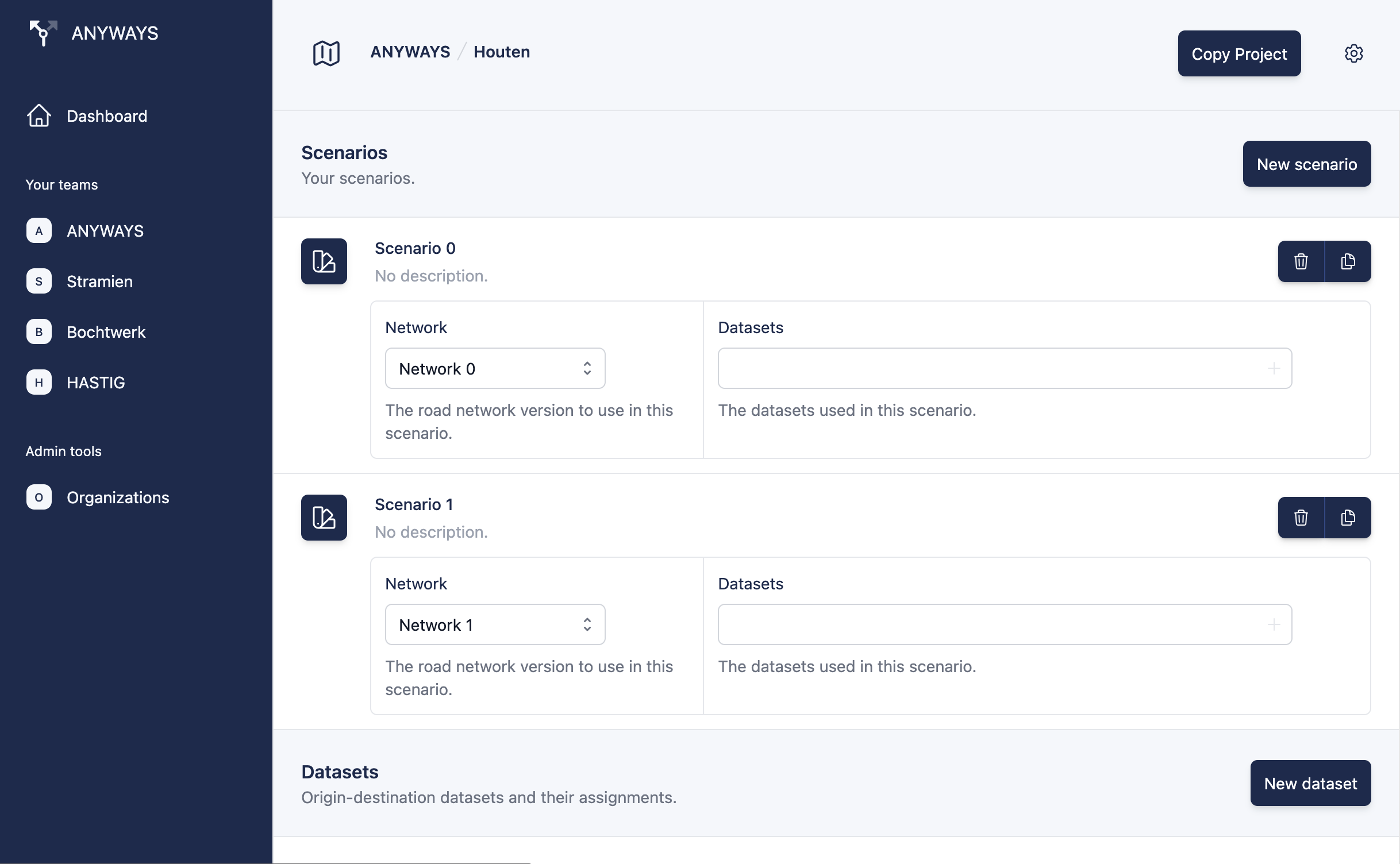
- Click Create Project
You will see this:
Step 2: Build a scenario
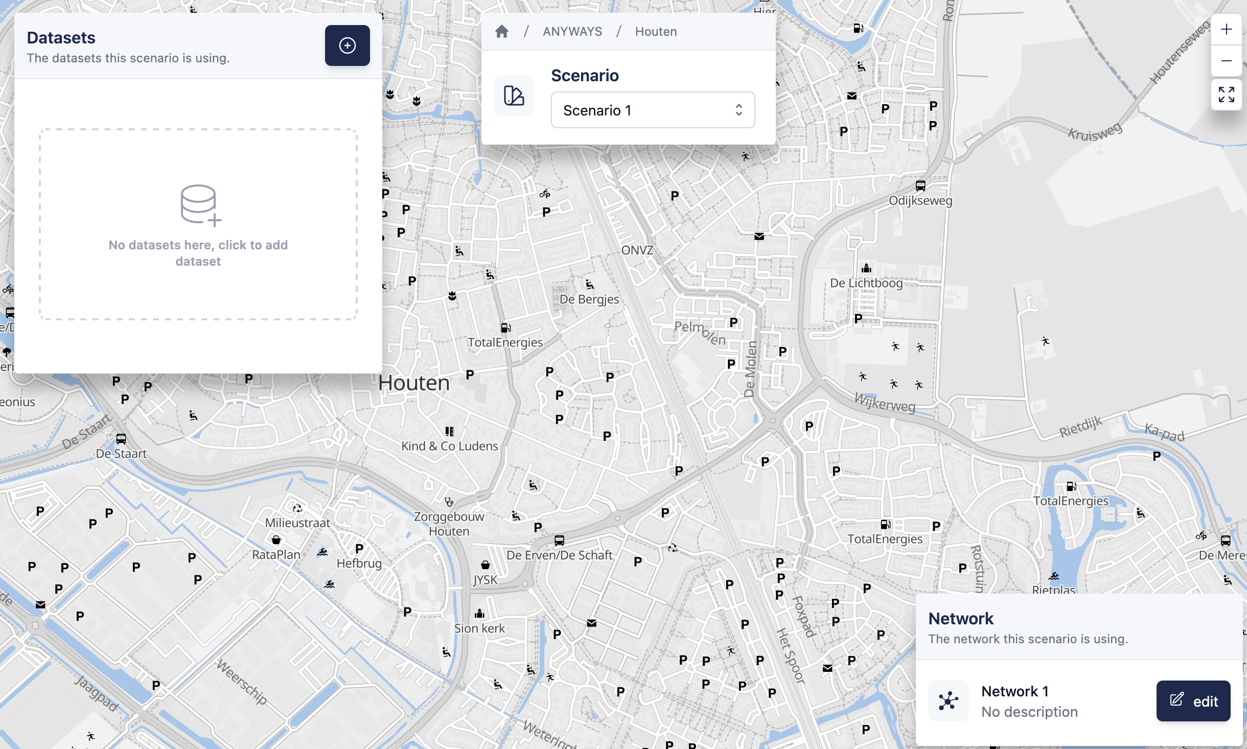
Each new project starts with two scenarios. Scenarios let you test different “what-if” changes in the same area.
To open a scenario:
- Open Scenario 1 by clicking the scenario button. Scenario 0 will later be used as the reference.

- An empty map will open
Step 3: Close a road
Now you’ll make your first road network change.
- Click Edit in the bottom-right corner
- Zoom in on a road segment
- Click the road to select it
- Click Closed to close the road for all traffic
- Click Save changes.
In the example below, the road segment is set to Closed:
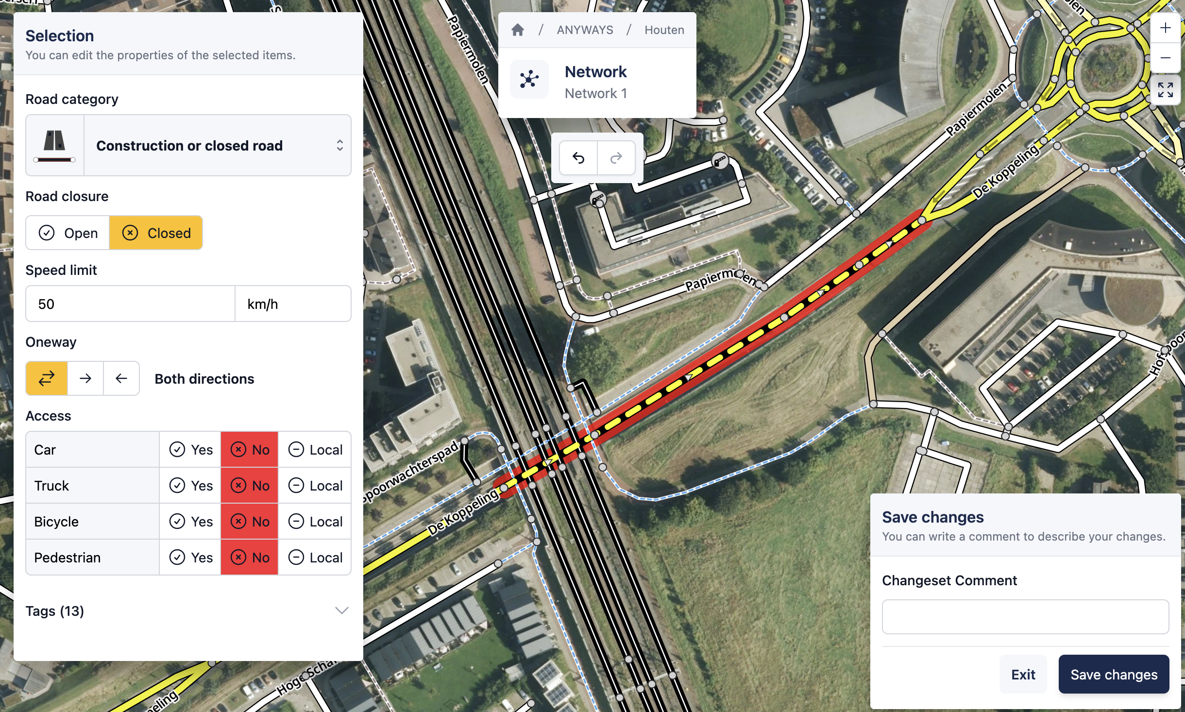
✅ Congrats! — you’ve made your first edit in ANYWAYS.
Step 4: Simulate traffic
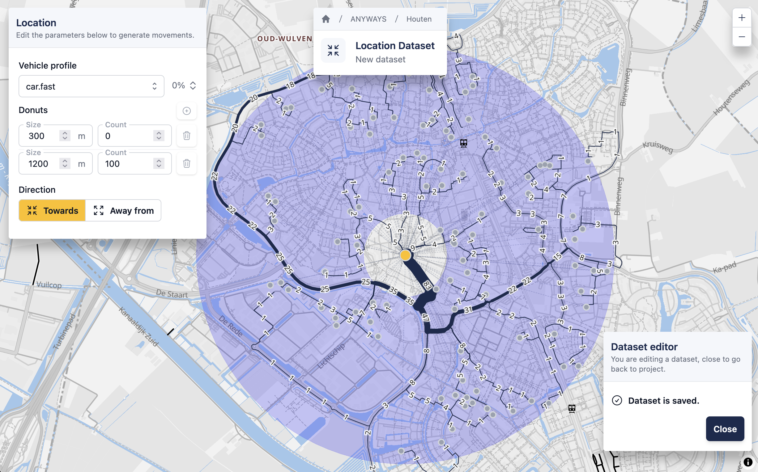
To simulate traffic in ANYWAYS, you need to create a dataset.
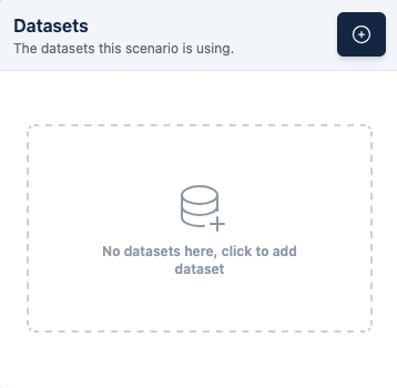
We start with the simplest case, a location dataset. A locations dataset lets you simulate trips to or from a single location by generating origins or destinations around it.
- Click add dataset
- On the top left set the parameters as you wish or leave them default. Choose the direction Towards or Away from
- Click on the map to select the location
✅ That’s it — you’ve created a complete scenario and simulated traffic in ANYWAYS.
What’s next?
You’re ready to explore more advanced workflows in ANYWAYS. Continue with one of the guides below:
- Simulate traffic
Create one or more datasets and evaluate how trips are assigned to the network within a scenario.
- Edit the road network
Make additional or more advanced changes, such as changing direction, access restrictions, or speed limits.
- Explore routes
Manually test and compare routes through the network using the route planner.
Looking for details?
If you already know what you’re looking for:
- Guides: step-by-step instructions for specific tasks
- Scenarios: Build scenarios, compare before and after.
- Simulate Traffic: To simulate traffic you can add or create datasets.
- Road Network Editing: Make changes to the road network.
- Using the route planner: To study specific routes or quickly explore network changes you can use the route planner.
- Reference: precise definitions, parameters, and edge cases.
QGIS plugin: Work in your own way in QGIS. Use whatever data it is you have and combine ANYWAYS route calculations with all your GIS data.
Jump to
QGIS pluginChangelog